Wednesday, November 8, 2006
Polygons on Google Maps and More
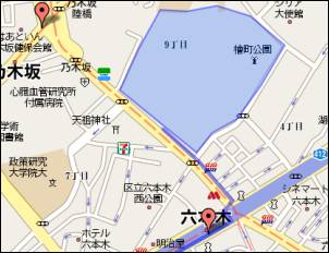
Google Earth was recently updated with the ability to draw polygons in the free version, and Andreas Bovens points out that this feature is now available for Google Maps as well... like for this sample overlaid with a KML/ KMZ file. Andreas says, “It’s worth noting Google Maps only displays the very basic info included in the kmz file. Colors, opacity, and even descriptions are not preserved in the Google Maps display. The basic shapes and placement are of course correct.”
Also new is MapLib, a tool to convert any image into a Google Maps page, complete with the ability to annotate it with placemarks. Google Maps Mania points out this might be useful for maps or any other kind of photo – including very large ones (up to 6000x6000 pixels). You can try the cityscape image I found on Flickr.
[Thanks Andreas and Google Earth Blog! Cityscape photo by Ngader with a Creative Commons license.]
Like.com Visual Search
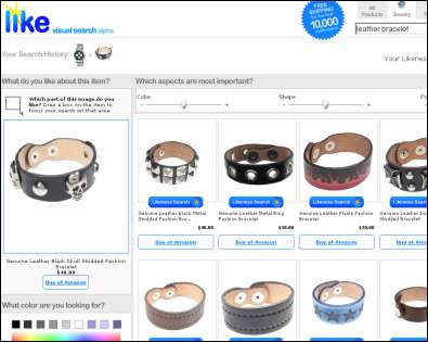
Over at Riya’s Like.com, interesting things have been happening. The site now presents a visual search engine that looks for the likeness of two given pictures. For example, they show off how they kind find a specific handbags within a set of celebrity photos.
I got some errors – a file-not-found pointing to shopping.riya.com, and I also you also can’t zoom into pics using their rectangle functionality for the first minute or so when you load a page – but this looks like an interesting twist to image search. Right now Like.com is restricted to pre-selected fashion items, though... this would get really cool only if I’m allowed to upload my own pics to search for similar pics on the web.
[Thanks A. H.!]
>> More posts
Advertisement
This site unofficially covers Google™ and more with some rights reserved. Join our forum!